-
Wetter
- Europa niederschlagsradar
- Alpen niederschlagsradar
- Belgien niederschlagsradar
- Deutschland niederschlagsradar
- Frankreich niederschlagsradar
- Griechenland niederschlagsradar
- Italien niederschlagsradar
- Niederlande niederschlagsradar
- Polen niederschlagsradar
- Portugal niederschlagsradar
- Skandinavien niederschlagsradar
- Spanien niederschlagsradar
- Türkei niederschlagsradar
- VK und Irland niederschlagsradar
- Afrika niederschlagsradar
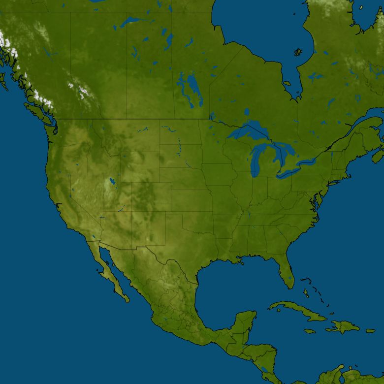
- Nordamerika niederschlagsradar
Cloud Lake Florida
 Deutsch
Cloud Lake
Wetter und Niederschlag Cloud Lake


Wetter jetzt
Wetter Tageszeiten
Heute
Mittag
31°
Abend
26°
Morgen
Nacht
24°
Morgen
25°
5 Tagen Wettervorhersage
Mo12
Mai
24° / 28°
Di13
Mai
21° / 30°
Mi14
Mai
20° / 30°
Do15
Mai
22° / 32°
Fr16
Mai
23° / 32°
Laden Sie die Regenalarm Drops-App herunter
Die beste Möglichkeit, trocken zu bleiben. Über 5 Millionen zufriedene Benutzer. Jetzt in den unten stehenden Store(s) herunterladen!

![]()