Thalmässing Bavaria
...Fetching location
You have denied location access. Fix this in your browser and reload the page.
Favorites
Last visited locations

- My profile
- Logout
Thalmässing
...Fetching location
You have denied location access. Fix this in your browser and reload the page.
Favorites
Last visited locations
-
Meteoradar
-
Satellite
-
Weather Forecast
-
Mobile App


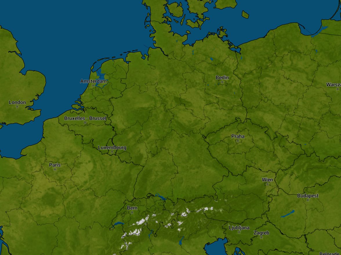
On this radar, you can see the forecast for the next 2 or 3 hours, depending on the country. We are showing how the current showers and rain areas will continue to move in the upcoming hours, provided they remain as they are now. Therefore, please take into account the possibility of new showers forming and existing showers changing.
On this radar, you can see the precipitation forecast for the next 7 days. This forecast is based on the GFS weather model.
On this radar, you can see the precipitation forecast for the next 48 hours. This forecast is based on the DWD ICON D2 weather model.
On this radar, you can see the radar observations of the last 3 hours. You can see the development of showers and rain areas in the previous hours.
On this radar, you can see the radar observations of the last hour. You can see the development of showers and rain areas of the previous hour.
On this radar, you can see the radar observations of the last 24 hours. You can see the development of showers and rain areas of the previous day.
On this radar, you can see the total amount of precipitation that we expect in the next two days. The radar displays a cumulative image based on the ICON D2 model data, where the precipitation total increases over time.
- Fri
- 02:25
- 02:45
- 03:05
- 03:25
- 03:45
- 04:05
- 04:25
- 04:45
- 05:05
- 05:25
Radar ±2 hours
Precipitation GFS model next 7 days
Radar precipitation DWD ICON D2 model next 48 hours
Radar observations last 3 hours
Radar last hour
Radar last 24 hours
Radar precipitation accumulation DWD ICON D2 model next 2 days
02:25 Friday, 1. Nov
Something went wrong with getting radar images
Radar ±2 hours
Precipitation GFS model next 7 days
Radar precipitation DWD ICON D2 model next 48 hours
Radar observations last 3 hours
Radar last hour
Radar last 24 hours
Radar precipitation accumulation DWD ICON D2 model next 2 days
On this radar, you can see the forecast for the next 2 or 3 hours, depending on the country. We are showing how the current showers and rain areas will continue to move in the upcoming hours, provided they remain as they are now. Therefore, please take into account the possibility of new showers forming and existing showers changing.
On this radar, you can see the precipitation forecast for the next 7 days. This forecast is based on the GFS weather model.
On this radar, you can see the precipitation forecast for the next 48 hours. This forecast is based on the DWD ICON D2 weather model.
On this radar, you can see the radar observations of the last 3 hours. You can see the development of showers and rain areas in the previous hours.
On this radar, you can see the radar observations of the last hour. You can see the development of showers and rain areas of the previous hour.
On this radar, you can see the radar observations of the last 24 hours. You can see the development of showers and rain areas of the previous day.
On this radar, you can see the total amount of precipitation that we expect in the next two days. The radar displays a cumulative image based on the ICON D2 model data, where the precipitation total increases over time.
Precipitation and weather Thalmässing

It will stay dry for now
-
Saturday
2 Nov6° / 12°
2
-
Sunday
3 Nov4° / 12°
2
-
Monday
4 Nov2° / 12°
2
