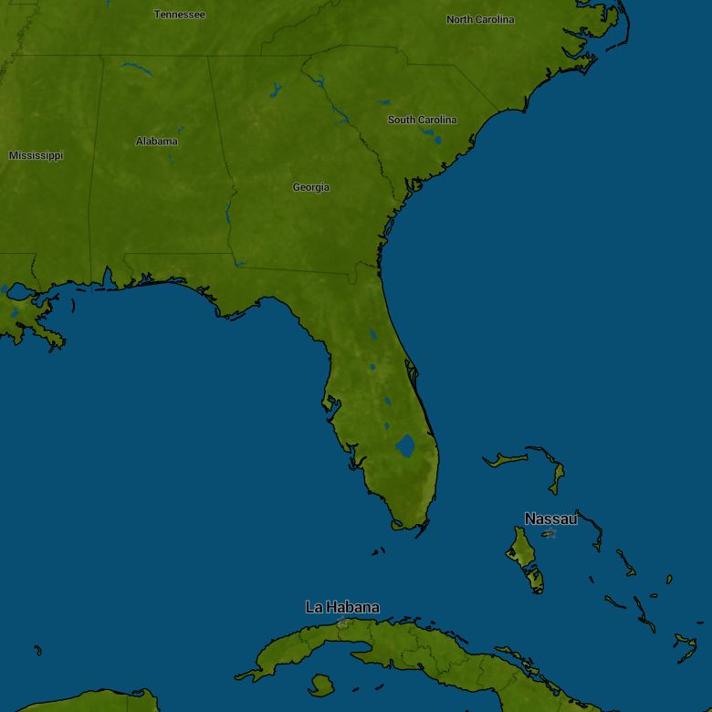
Florida
...Fetching location
You have denied location access. Fix this in your browser and reload the page.
Favorites
Last visited locations
Florida
...Fetching location
You have denied location access. Fix this in your browser and reload the page.
Favorites
Last visited locations
On this radar, you can see the forecast for the next 2 or 3 hours, depending on the country. We are showing how the current showers and rain areas will continue to move in the upcoming hours, provided they remain as they are now. Therefore, please take into account the possibility of new showers forming and existing showers changing.
On this radar, you can see the precipitation forecast for the next 7 days. This forecast is based on the GFS weather model.
On this radar, you can see the radar observations of the last 3 hours. You can see the development of showers and rain areas in the previous hours.
On this radar, you can see the radar observations of the last 24 hours. You can see the development of showers and rain areas of the previous day.
Radar ±2 hours
Precipitation GFS model next 7 days
Radar observations last 3 hours
Radar last 24 hours
20:10 Friday, 25. Apr
Something went wrong with getting radar images
Radar ±2 hours
Precipitation GFS model next 7 days
Radar observations last 3 hours
Radar last 24 hours
On this radar, you can see the forecast for the next 2 or 3 hours, depending on the country. We are showing how the current showers and rain areas will continue to move in the upcoming hours, provided they remain as they are now. Therefore, please take into account the possibility of new showers forming and existing showers changing.
On this radar, you can see the precipitation forecast for the next 7 days. This forecast is based on the GFS weather model.
On this radar, you can see the radar observations of the last 3 hours. You can see the development of showers and rain areas in the previous hours.
On this radar, you can see the radar observations of the last 24 hours. You can see the development of showers and rain areas of the previous day.
Top Locations
City |
|
°C Min./Max. |
Rain mm/cm |
Sun hour |
Wind Bft |
---|---|---|---|---|---|
Jacksonville |
|
19° / 33° |
|
|
|
Miami |
|
23° / 27° |
|
|
|
Tampa |
|
22° / 31° |
|
|
|
Orlando |
|
20° / 33° |
|
|
|
St. Petersburg |
|
23° / 30° |
|
|
|
Tallahassee |
|
19° / 33° |
|
|
|
Fort Lauderdale |
|
22° / 28° |
|
|
|
Port Saint Lucie |
|
20° / 29° |
|
|
|
Clearwater |
|
22° / 31° |
|
|
|
West Palm Beach |
|
21° / 29° |
|
|
|
Miami Beach |
|
23° / 27° |
|
|
|
Fort Myers |
|
20° / 32° |
|
|
|
Kissimmee |
|
19° / 34° |
|
|
|
Daytona Beach |
|
19° / 32° |
|
|
|
Sarasota |
|
21° / 28° |
|
|
|
Panama City |
|
20° / 28° |
|
|
|
Key West |
|
24° / 28° |
|
|
|
Fort Walton Beach |
|
20° / 29° |
|
|
|
Naples |
|
20° / 30° |
|
|
|
Key Largo |
|
23° / 27° |
|
|
|
Islamorada |
|
23° / 27° |
|
|
|
Crystal River |
|
18° / 33° |
|
|
|
Captiva |
|
21° / 29° |
|
|
|
Pensacola Beach |
|
20° / 29° |
|
|
|
Clearwater Beach |
|
22° / 31° |
|
|
|
On this radar, you can see the forecast for the next 2 or 3 hours, depending on the country. We are showing how the current showers and rain areas will continue to move in the upcoming hours, provided they remain as they are now. Therefore, please take into account the possibility of new showers forming and existing showers changing.
On this radar, you can see the precipitation forecast for the next 7 days. This forecast is based on the GFS weather model.
On this radar, you can see the radar observations of the last 3 hours. You can see the development of showers and rain areas in the previous hours.
On this radar, you can see the radar observations of the last 24 hours. You can see the development of showers and rain areas of the previous day.
Radar ±2 hours
Precipitation GFS model next 7 days
Radar observations last 3 hours
Radar last 24 hours
20:10 Friday, 25. Apr
Something went wrong with getting radar images
Radar ±2 hours
Precipitation GFS model next 7 days
Radar observations last 3 hours
Radar last 24 hours
On this radar, you can see the forecast for the next 2 or 3 hours, depending on the country. We are showing how the current showers and rain areas will continue to move in the upcoming hours, provided they remain as they are now. Therefore, please take into account the possibility of new showers forming and existing showers changing.
On this radar, you can see the precipitation forecast for the next 7 days. This forecast is based on the GFS weather model.
On this radar, you can see the radar observations of the last 3 hours. You can see the development of showers and rain areas in the previous hours.
On this radar, you can see the radar observations of the last 24 hours. You can see the development of showers and rain areas of the previous day.
You have the choice not to see advertisements with Meteoradar Premium for only 3.49 per year or to agree to personal advertisements. Already have Premium? Log in
With your permission, we and our 372 partners use cookies and similar techniques to process personal data, such as data about your website visit, IP addresses and cookie IDs. You can withdraw your consent at any time by clicking "cookie settings" in the footer; or through us cookie and privacy policy, where you will also find more information about our cookies.